← Stone Creek Phase II

Stone Creek Phase II — Tract 210

Available

Latimer County, Oklahoma

$42,90010.38 ac$576.95/mo

  • Stream

Financing options

We match your down payment. Put 5%, 10% or 20% down and we match it. Owner financed, no credit check.

Basic

$576.95/mo
Down payment
$999
APR
10.99%
Down payment match
None
Purchase price
$42,900
Doc fee
$249
Due at signing
$1,248
Text me about this plan

Enhanced

Most popular
$520.77/mo

We match your 5% down

Down payment
$2,145
APR
10.49%
Down payment match
$2,145
New purchase price
$40,755
Doc fee
$249
Due at signing
$2,394
Text me about this plan

Premium

$453.35/mo

We match your 10% down

Down payment
$4,290
APR
9.99%
Down payment match
$4,290
New purchase price
$38,610
Doc fee
$249
Due at signing
$4,539
Text me about this plan

Diamond

$325.92/mo

We match your 20% down

Down payment
$8,580
APR
8.99%
Down payment match
$8,580
New purchase price
$34,320
Doc fee
$249
Due at signing
$8,829
Text me about this plan

Payments are estimates based on the list price and the plan’s published rate. A 10-year term is fixed for its full length; a 20-year term is rate-locked for 3 years, then the remaining balance is renewed every 3 years. Final terms are set by the purchase agreement and depend on the tract still being available.

All Property Plans Include:

  • 20% discount for cash buyers!
  • Payment date flexibility
  • Low Doc Fee's!
  • Everyone is Approved!

Questions? Text or chat with us.

Ask about any tract, the payments or a visit. No forms, no obligation.

Overview

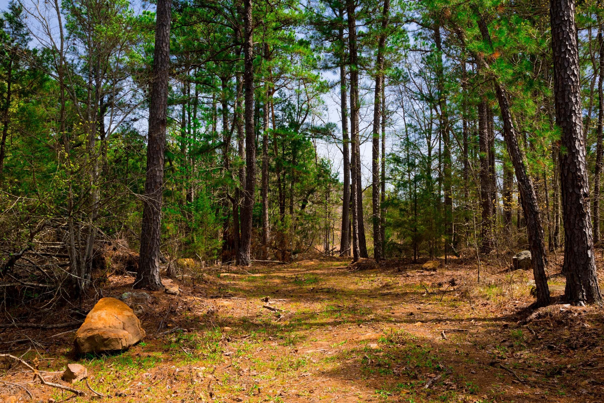
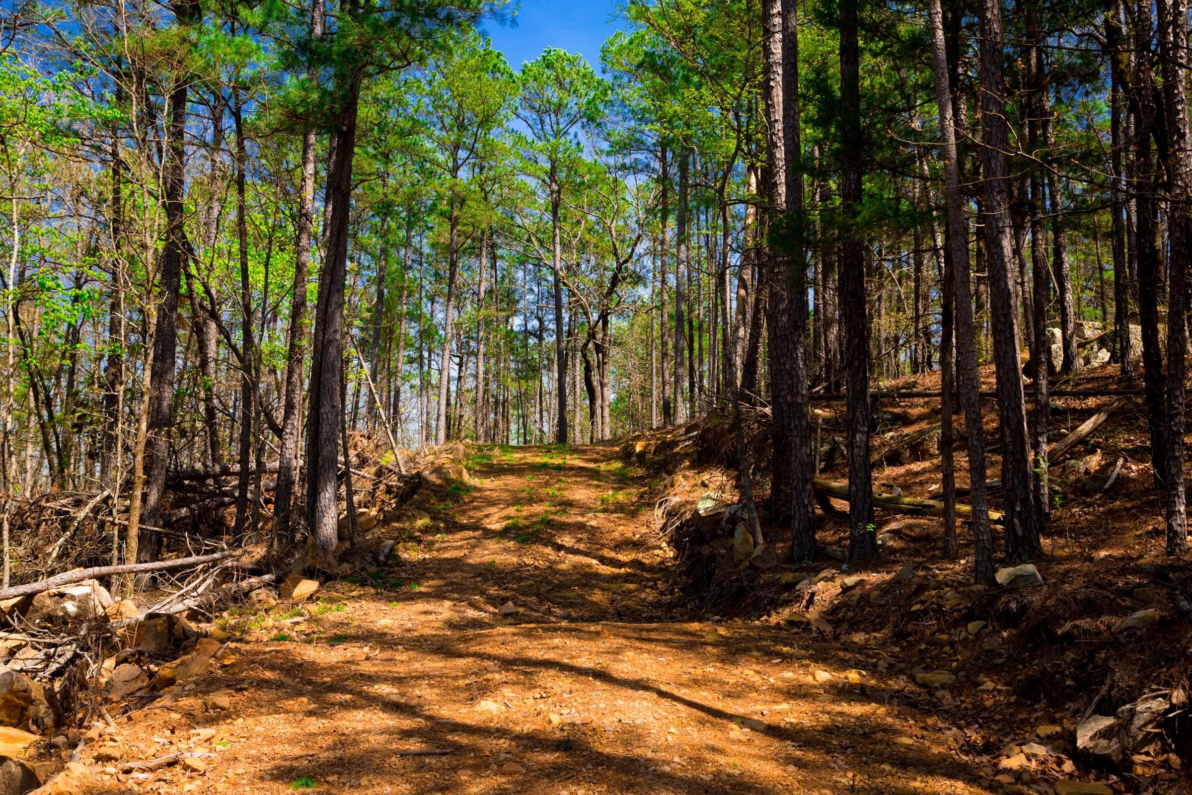
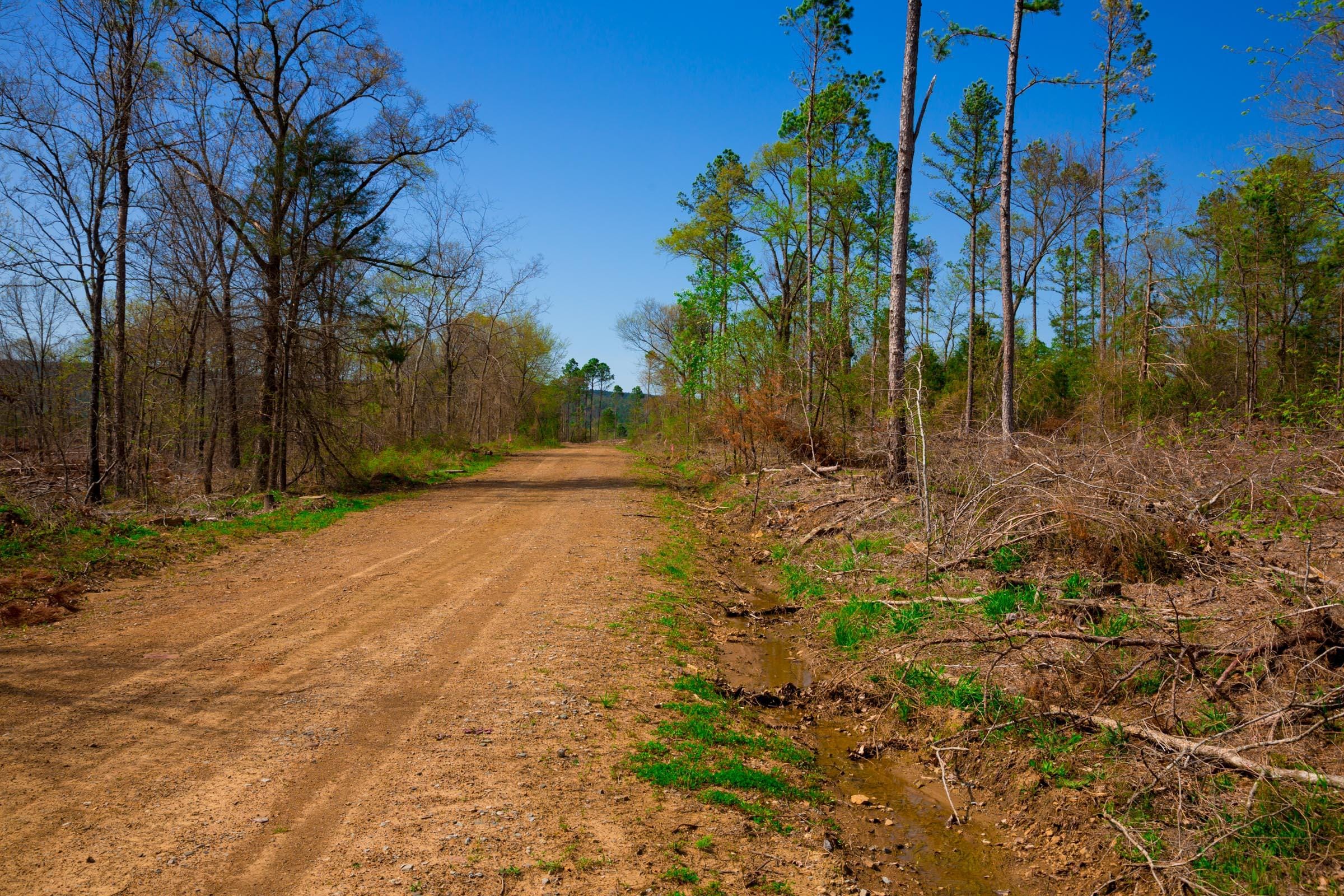
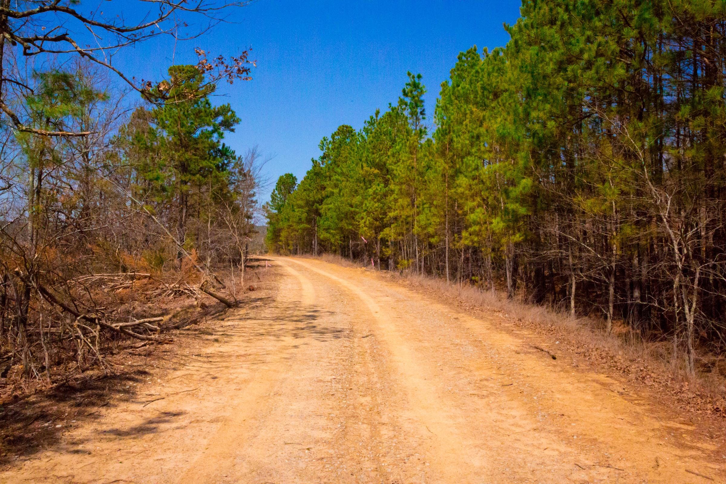
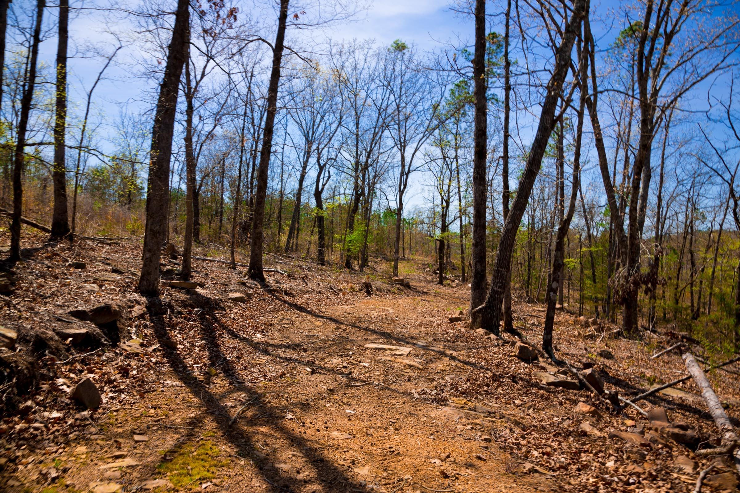
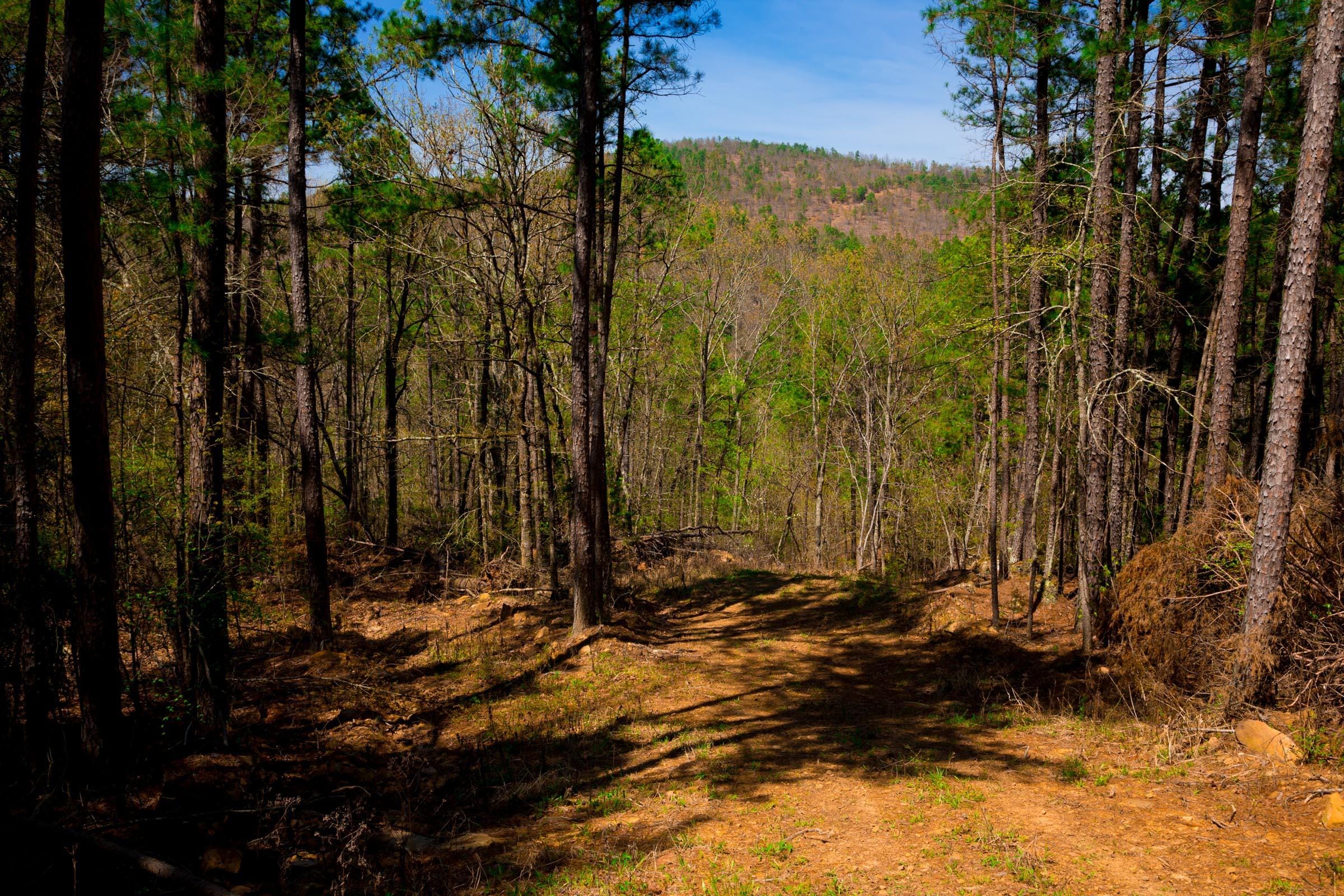
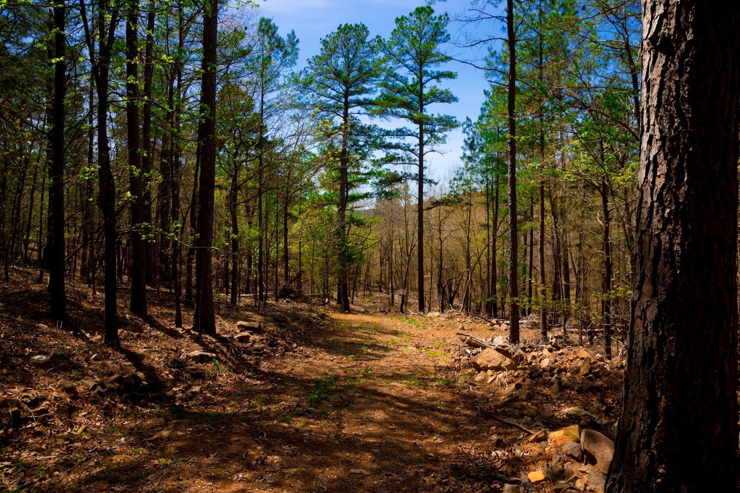
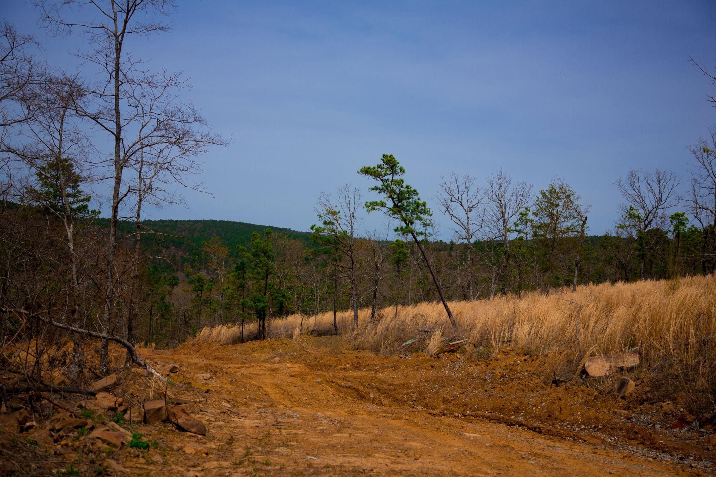
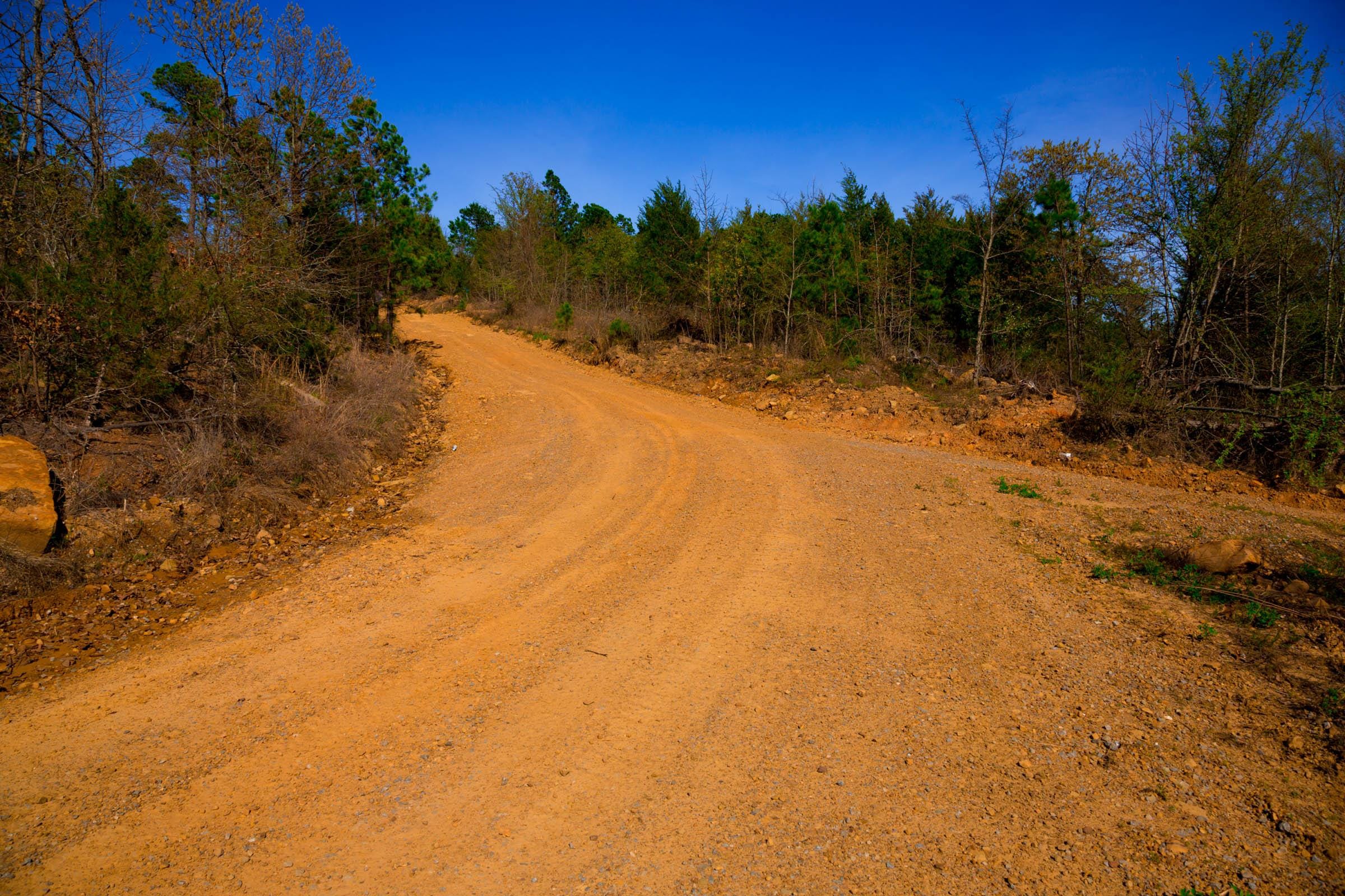
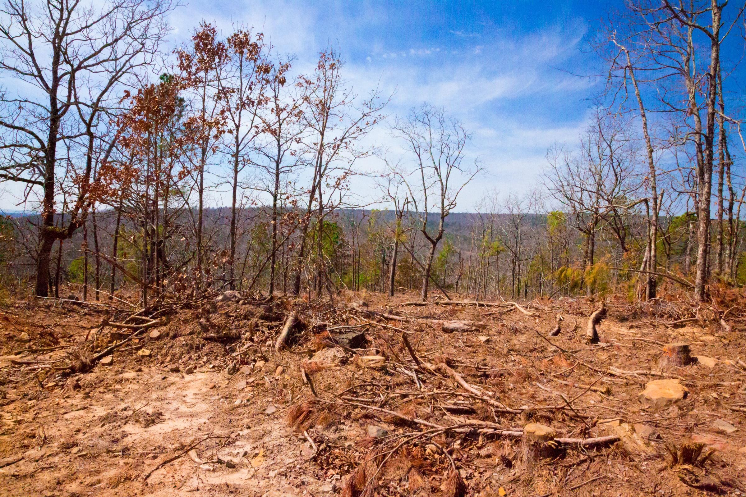
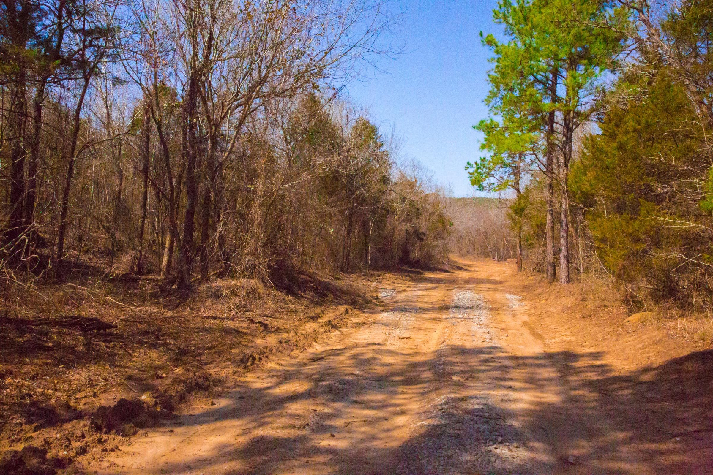
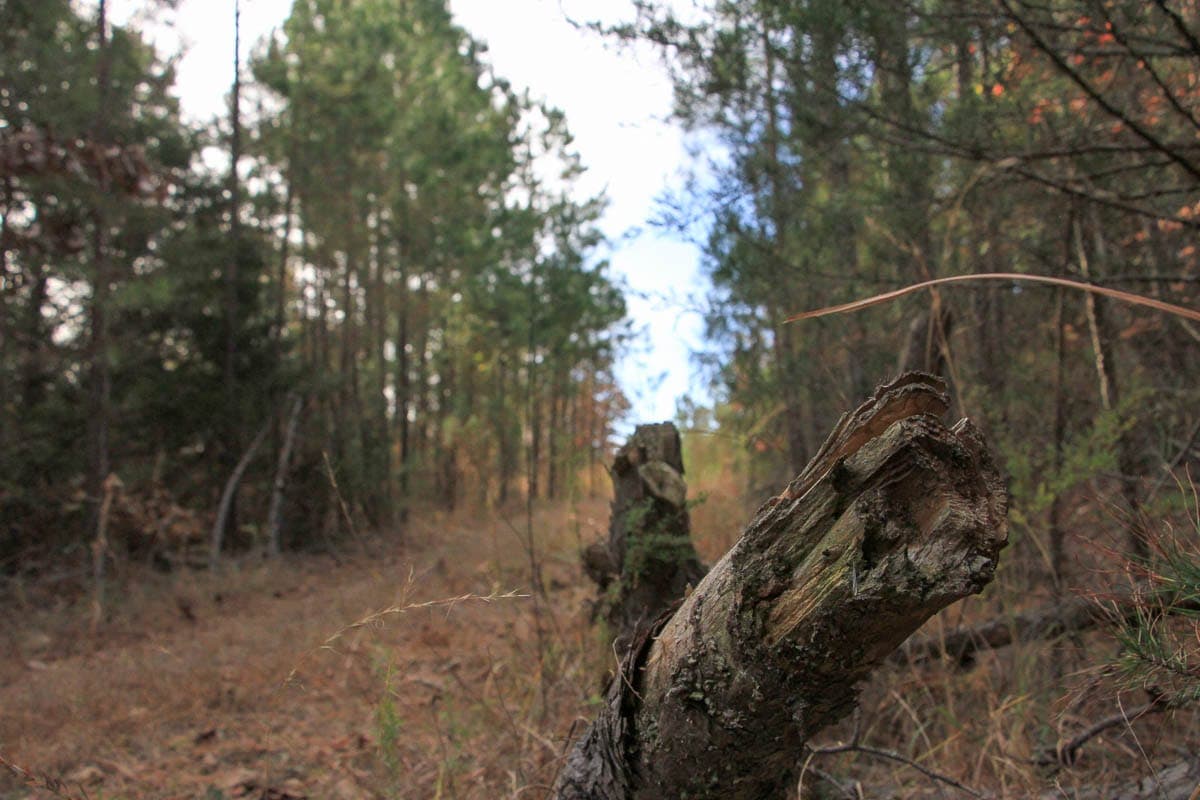
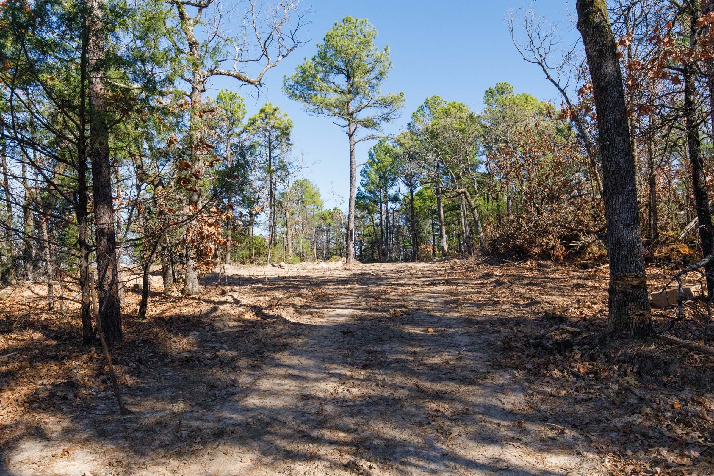
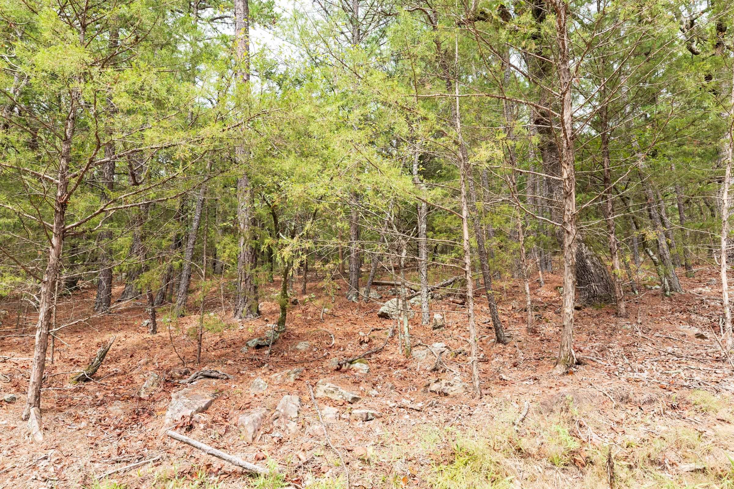
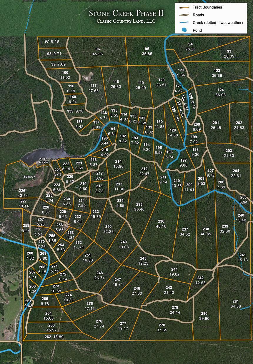
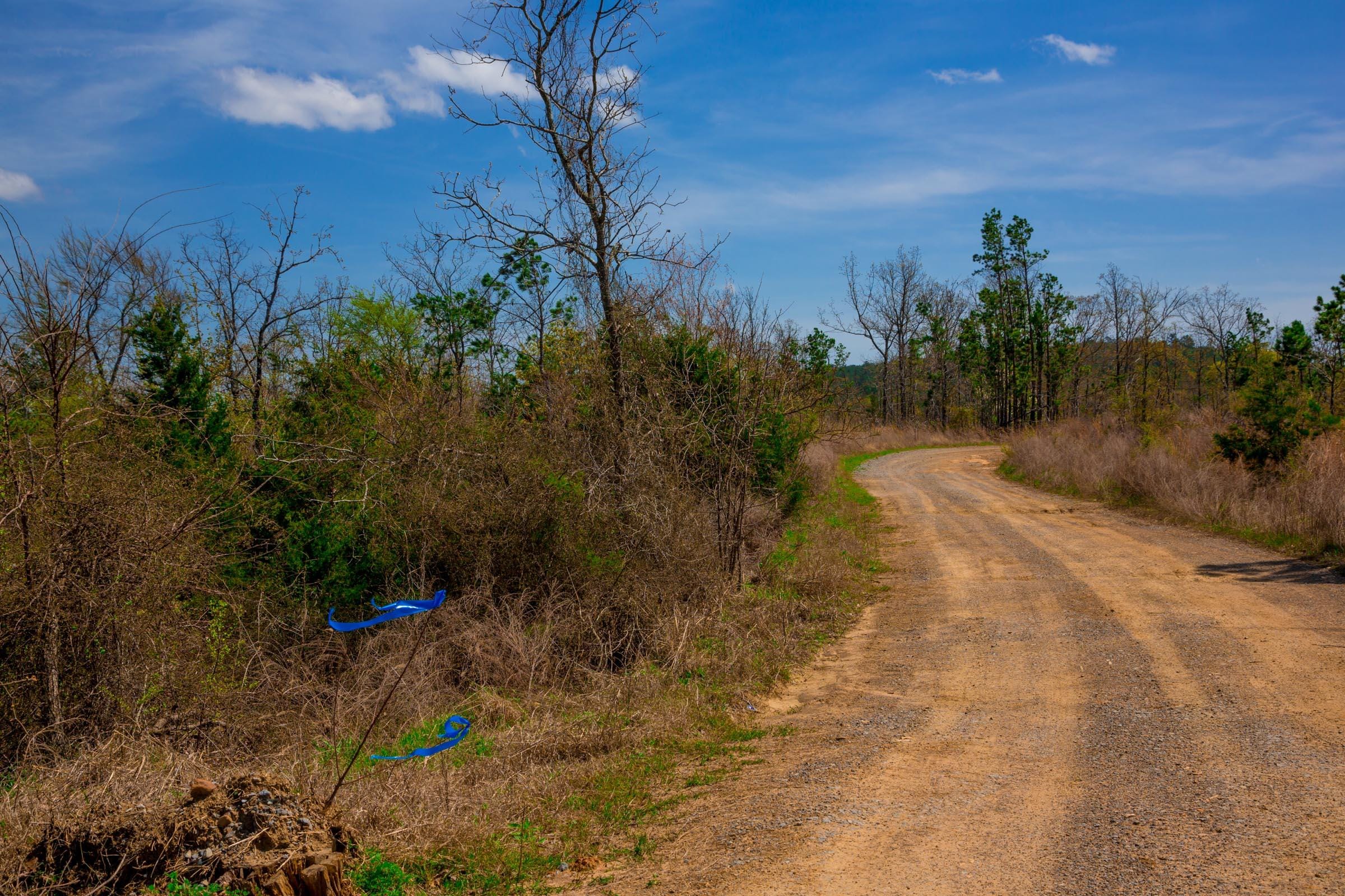
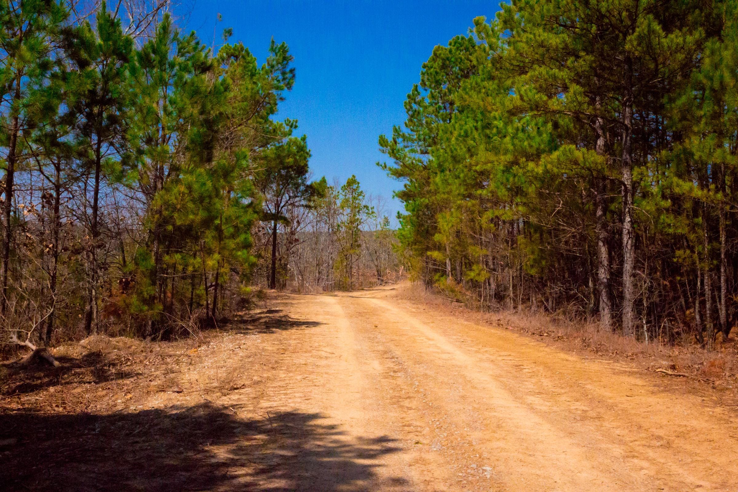
Tract 210 is 10.38 acres in the eastern half of the property, and the plat shows a creek curving along it. Count on that creek flowing mainly in wet weather rather than all year. Expect mountain terrain wooded in pine and hardwood, with clearings for camping or a future cabin. No electricity is on site, and access is by unmaintained dirt road where four-wheel drive helps.

About Stone Creek Phase II

Stone Creek Phase II is wooded mountain land in the San Bois Mountains of Latimer County, Oklahoma. The development is about 3 miles northeast of Wilburton, 30 miles east of McAlester and 185 miles southeast of Oklahoma City. It is divided into 125 surveyed tracts, and every corner has been staked and pinned.

The ground here is steep and rugged in places, with secluded corners that give deer, turkey and bear good cover. Several tracts include ponds or wet-weather creeks, and the area averages about 50 inches of rain a year. A reservoir with a public access point borders the west side of the property on the plat. One section has a sheer rock face for hikers and climbers, and the whole property suits ATV and horseback riding. Nearby, Robbers Cave State Park is close at hand, and the Fourche Maline River west of Wilburton offers winter trout fishing. Average elevation is about 1,250 feet.
Features

  • Stream
Start using your land in 48 hours!
  • Homesteading
  • Mobile Structures
  • Off-Grid Living
  • Hunting
  • 4x4
  • Camping
  • Small Structures
  • No HOA

Location

Property Map
Property plat map

Documents & details

Property Documents

Coordinates
Covenants
Survey
Tract Map

Enter your email to receive all documents

Location

Address
Latimer County, OK, United States of America
City
Red Oak
County
Latimer County
State
Oklahoma
ZIP
74563
GPS
34.953828, -95.244011

Land

Size
10.38 acres
Corner coordinates
1. 34.958319, -95.279845 2. 34.958302, -95.278840 3. 34.958007, -95.278501 4. 34.958117, -95.277904 5. 34.954878, -95.278567 6. 34.955512, -95.279263
Surveyed
Yes
Road Type
Unmaintained Dirt Road
4x4 Required
Recommended
Elevation
1,250 ft

Utilities

Electric Company
Kiamichi Electric Cooperative
Electric Location
Power lines are established for some lots; Kiamichi Electric can extend service to a tract at the buyer's expense
Water Source
You are entitled to drill a domestic well on your property at your own cost. Water is not guaranteed to be available at any specific depths, quantity, or quality

Zoning & Uses

Zoning
Residential, Recreational
Mobile Homes
Allowed
RV Living
Full-Time
Hunting
Allowed

Records

Restrictions
Recorded covenants, no HOA. Residential and recreational use only, no commercial use (including marijuana growing); one personal greenhouse up to 200 sq ft. Conventional, portable and tiny homes allowed; a travel trailer, RV, portable cabin or camper may be used as a single-family dwelling. Tents, tent shacks and lean-tos are recreational only, no more than 21 days per calendar year. One dwelling per 5 acres. Farm animals allowed if not a nuisance; horses and cattle on properly fenced parcels; no more than 2 swine and 3 dogs; animals must stay on the property. No junk, derelict vehicles or dumping. Streams and springs may not be dammed or rerouted. Setbacks 70 ft from roads and 50 ft from boundaries, plus a 20 ft perimeter utility and access easement. Commercial vehicles and heavy equipment only for construction. No hunting from the access roads. A parcel may not be split into more than 2 without the seller's consent. While the contract for deed is being paid: a residency permit from the seller is needed before living on the land; no subleasing; no subdividing; a septic, composting system, maintained portable toilet or outhouse is required if occupied; no cutting trees 16 in. or larger without written permission ($1,000 per tree), no more than 20% of a tract cleared, no selling timber or rock; uncured violations accrue $25 per day.

Fees & Taxes

HOA
None
  1. Choose Your Tract

    Browse available tracts and pick the one that fits your vision.

  2. Reserve with Down Payment

    Secure your land with a small down payment — simple qualification, no credit check.

  3. Sign & Start Using in 48 hrs

    Sign the contract and your land is yours — start using it within 48 hours.

Contact

Schedule Property Visit: Stone Creek Phase II
Chad Williams
Chad Williams
Ask a question about Stone Creek Phase II
or talk to us now

Stone Creek Phase II Tract 210 — Hunt Without a Lease

Stone Creek Phase II Tract 210 is a private hunting tract — 10.38 acres of private hunting tract in Latimer County, Oklahoma. Part of Stone Creek Phase II. Priced at $42,900 — about $576.95/month on our Basic plan ($999 down, 10-year term).

  • About 93 miles from Tulsa and 98 miles from Fayetteville, AR (straight line; the drive is longer).
  • At 10.38 acres it is the 5th-largest of the 14 tracts still available at Stone Creek Phase II, at about $4,133 per acre versus a $4,318 average there.
  • Private hunting — deer, turkey, small game, depending on the region
  • Trail-camera ready: set cameras and stands the day you close, no neighbors
  • No public-land pressure; your acreage, your seasons, your rules

Common questions about Stone Creek Phase II — Tract 210

Do I need to lease Stone Creek Phase II Tract 210 to hunt it?
No — you own Stone Creek Phase II Tract 210 outright. No annual hunting lease, no shared access with other hunters. The state license fee is the only ongoing cost for hunting your own acreage.
What can I expect to see on trail cameras on Stone Creek Phase II Tract 210?
Typical trail-cam results on Stone Creek Phase II Tract 210-sized tracts: whitetail does and bucks daily, turkey flocks seasonally, squirrel and small game year-round, occasional coyote, raccoon, and bobcat. Camera placement near water sources or pinch points improves results.
Do I need a hunting license to hunt Stone Creek Phase II Tract 210?
Yes — even on private land, state-issued hunting licenses and tags are required. Owning Stone Creek Phase II Tract 210 gives you the right to control access and hunt during seasons, but does not waive state license requirements.
Can I plant a food plot on Stone Creek Phase II Tract 210?
Yes — planting food plots on Stone Creek Phase II Tract 210 for personal hunting use is permitted on rural land. Confirm with the county and property covenants that agricultural-type soil disturbance is unrestricted on your specific tract.

Explore more

More Tracts at Stone Creek Phase II

Explore other available tracts in Stone Creek Phase II. Each offers its own acreage, price and features.

View All Tracts

More in this county

More Land in Latimer County

Other communities with tracts for sale in Latimer County, Oklahoma.

View All Properties

Own rural land today

Ready to Own Your Land?

$999 down. No credit check. Fast 48-hour closings. Start using your land right away.

Browse Available Land
  • $999 DownLow entry cost to get started.
  • No Credit CheckEveryone is welcome.
  • 48-Hour ClosingsFast and simple process.
  • Use It Right AwayRecreational, hunting, off-grid.